Northern America · TDWG Level 2
Southwestern U.S.A.
Southwestern U.S.A. covers California, Nevada, Utah, and Arizona — roughly 1.23 million square kilometres dominated by the Mojave, Sonoran, and Great Basin deserts, with the Sierra Nevada and the Pacific coast adding sharp contrast. Climates run from below sea level in Death Valley to alpine on Mount Whitney, and the flora shifts from saguaro desert to coastal redwood forest within a few hundred kilometres.
Southwestern U.S.A. is one of the most ecologically varied TDWG regions in North America. It joins four states — California, Nevada, Utah, and Arizona — into a single botanical unit of roughly 1.23 million square kilometres. The overall climate label is arid, but that hides enormous internal range: hot deserts in the south, cold high deserts on the Colorado Plateau, mediterranean conditions along the California coast, and temperate montane forests in the Sierra Nevada.
The land itself is dramatic. Three great deserts cover most of the region — the Sonoran in southern Arizona, the Mojave straddling California and Nevada, and the Great Basin across Nevada and western Utah. The Colorado Plateau dominates the northeast quarter, carved by the Colorado River into the Grand Canyon and the deep red-rock country of southern Utah. The Sierra Nevada runs north–south along eastern California, peaking at Mount Whitney (4,421 m), and only a short distance west drops into Death Valley's Badwater Basin at −86 m — the highest and lowest points in the contiguous United States within sight of each other.
Vegetation tracks heat, elevation, and rainfall closely. The Sonoran Desert is the iconic one — saguaro cactus (Carnegiea gigantea), prickly pear (Opuntia), and creosote bush (Larrea tridentata) across the low elevations. The Mojave is defined by Joshua tree (Yucca brevifolia); the Great Basin by sagebrush (Artemisia tridentata). Climbing into the mountains, sagebrush gives way to pinyon-juniper woodland (Pinus edulis with Juniperus osteosperma), then ponderosa pine, and finally subalpine forest. The Sierra holds the giant sequoia (Sequoiadendron giganteum); the Pacific fog belt of northern California holds the coast redwood (Sequoia sempervirens). California itself is a biodiversity hotspot — the California Floristic Province carries over 3,000 vascular plant species with about 60% endemism, including the chaparral genera Arctostaphylos (manzanita) and Ceanothus.
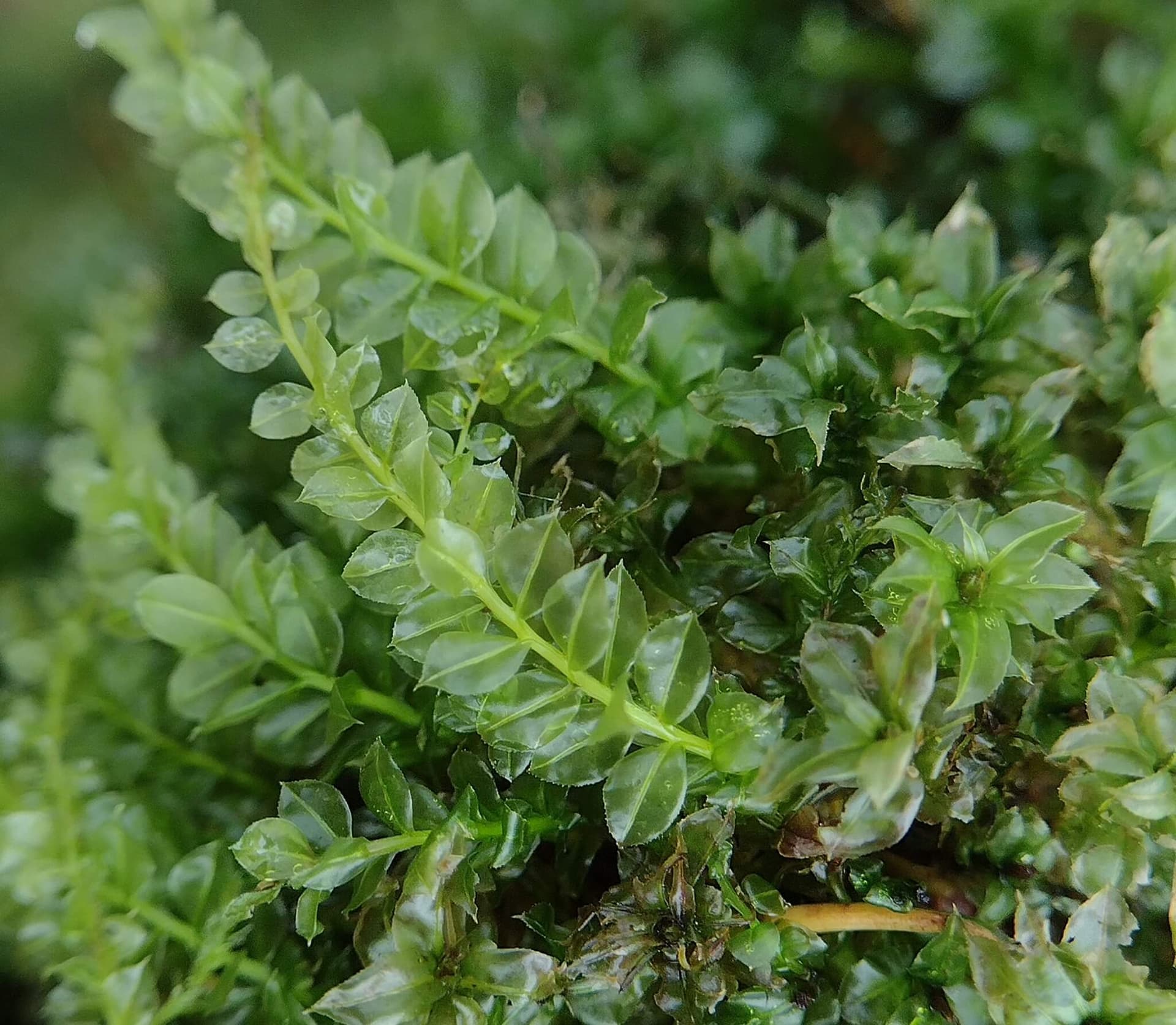
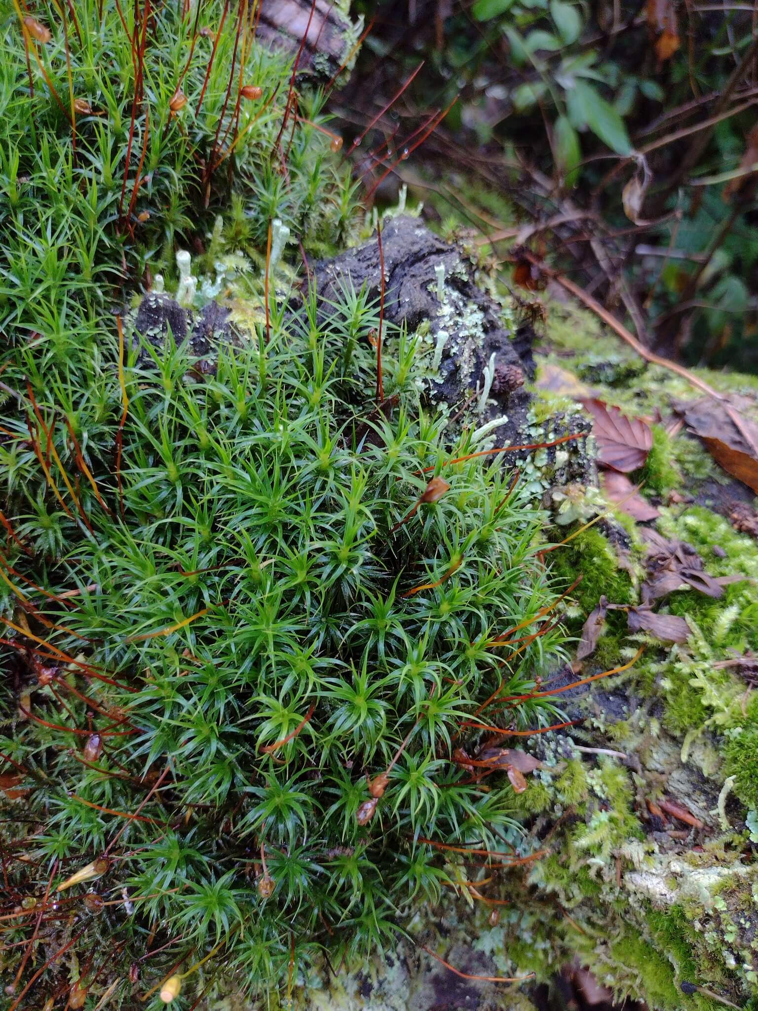
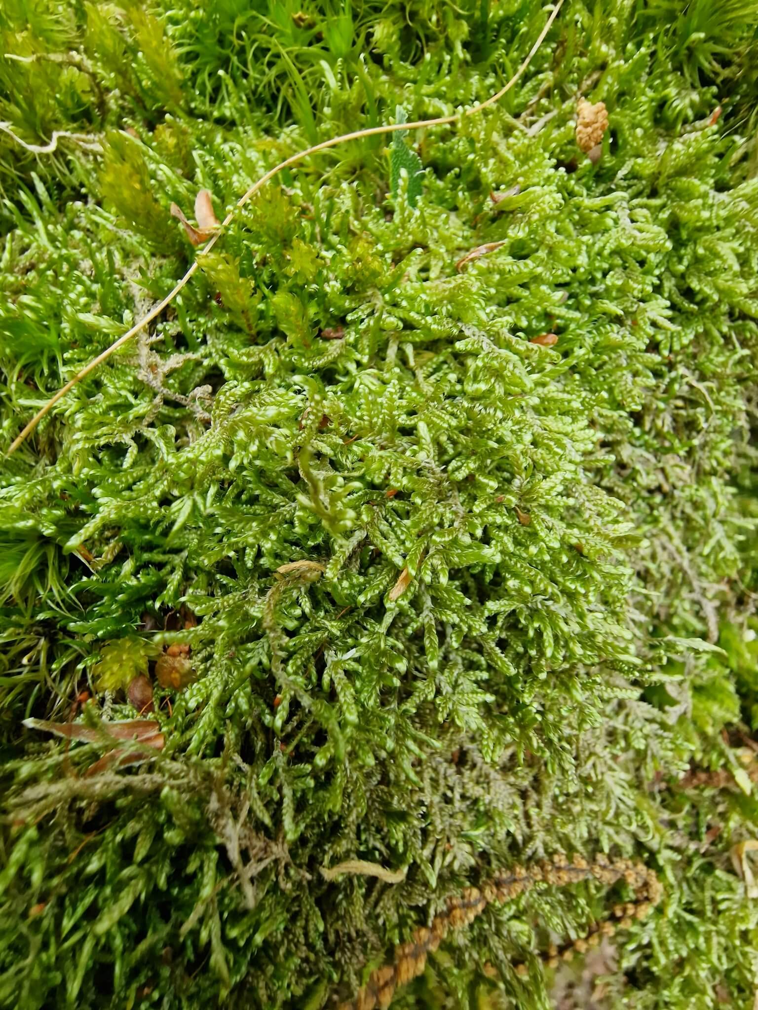
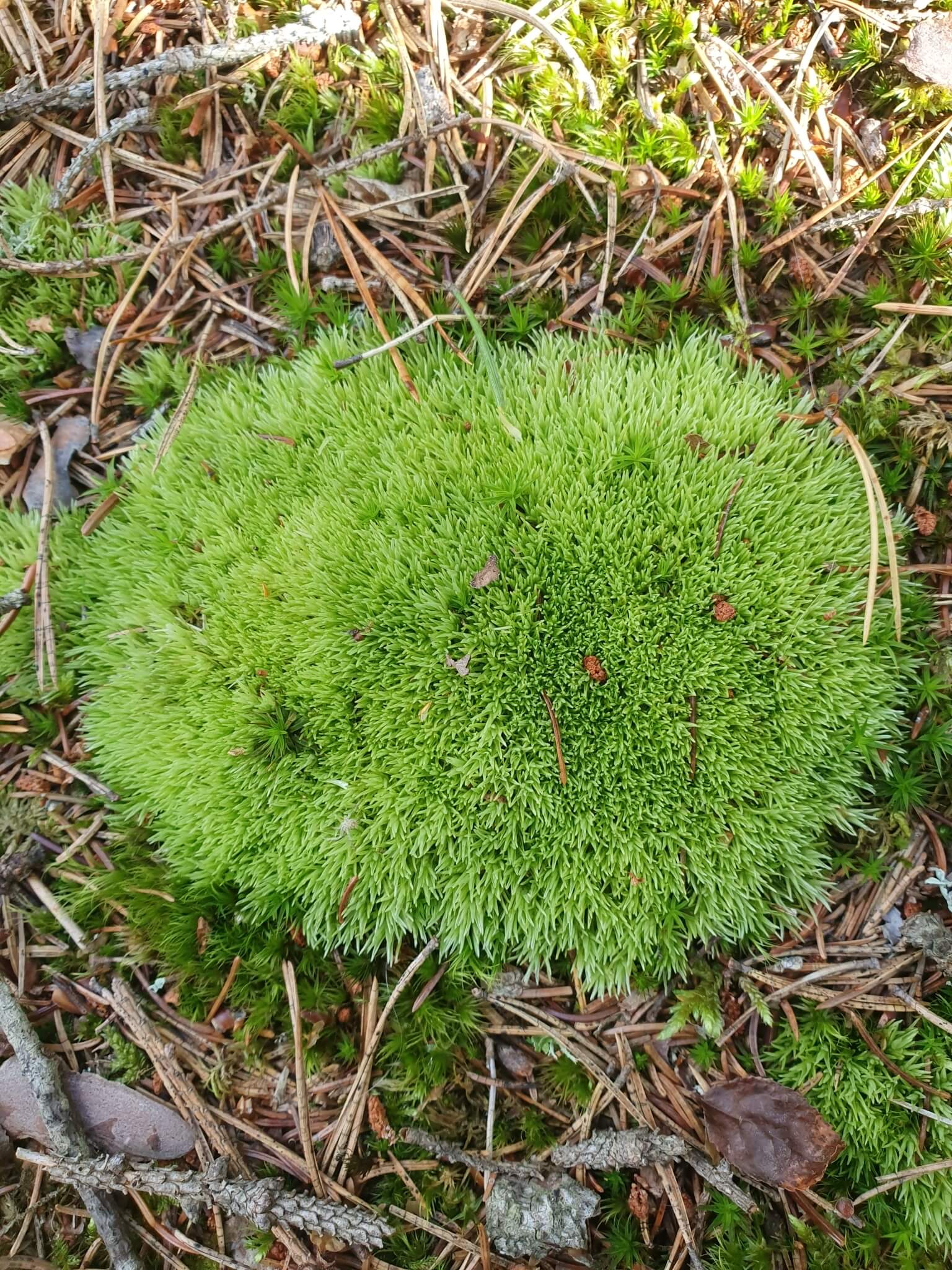
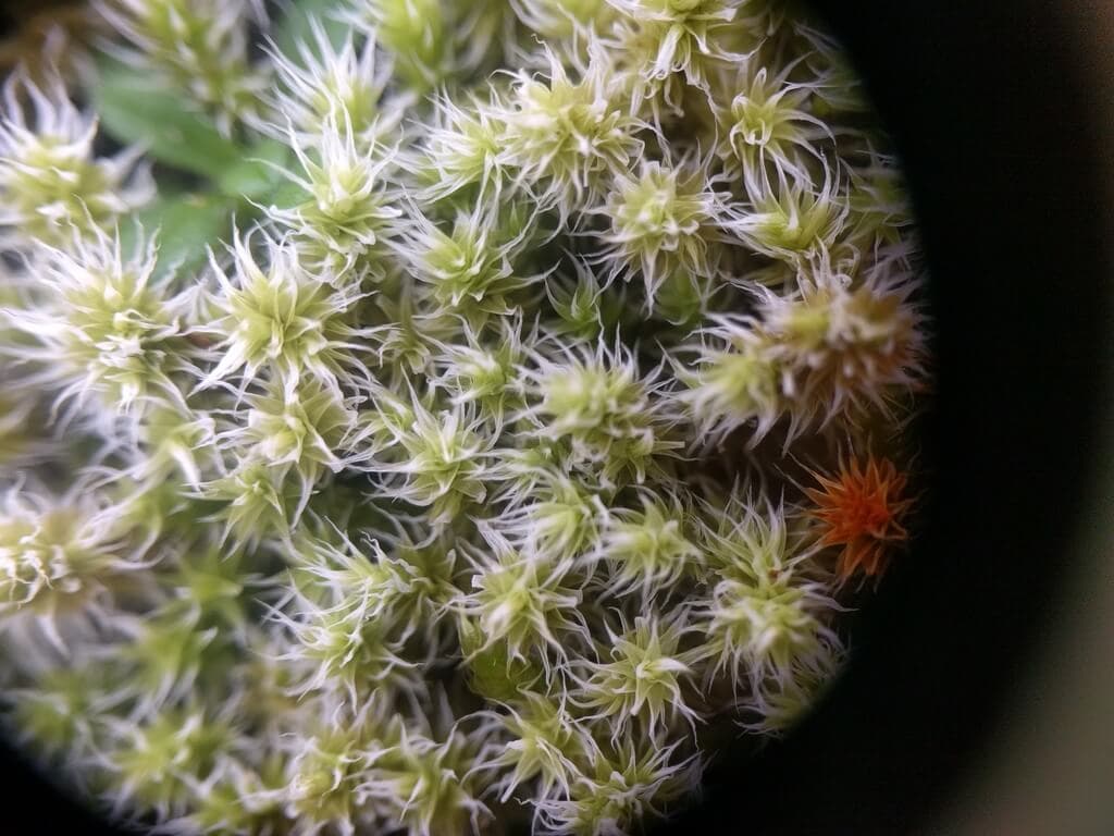
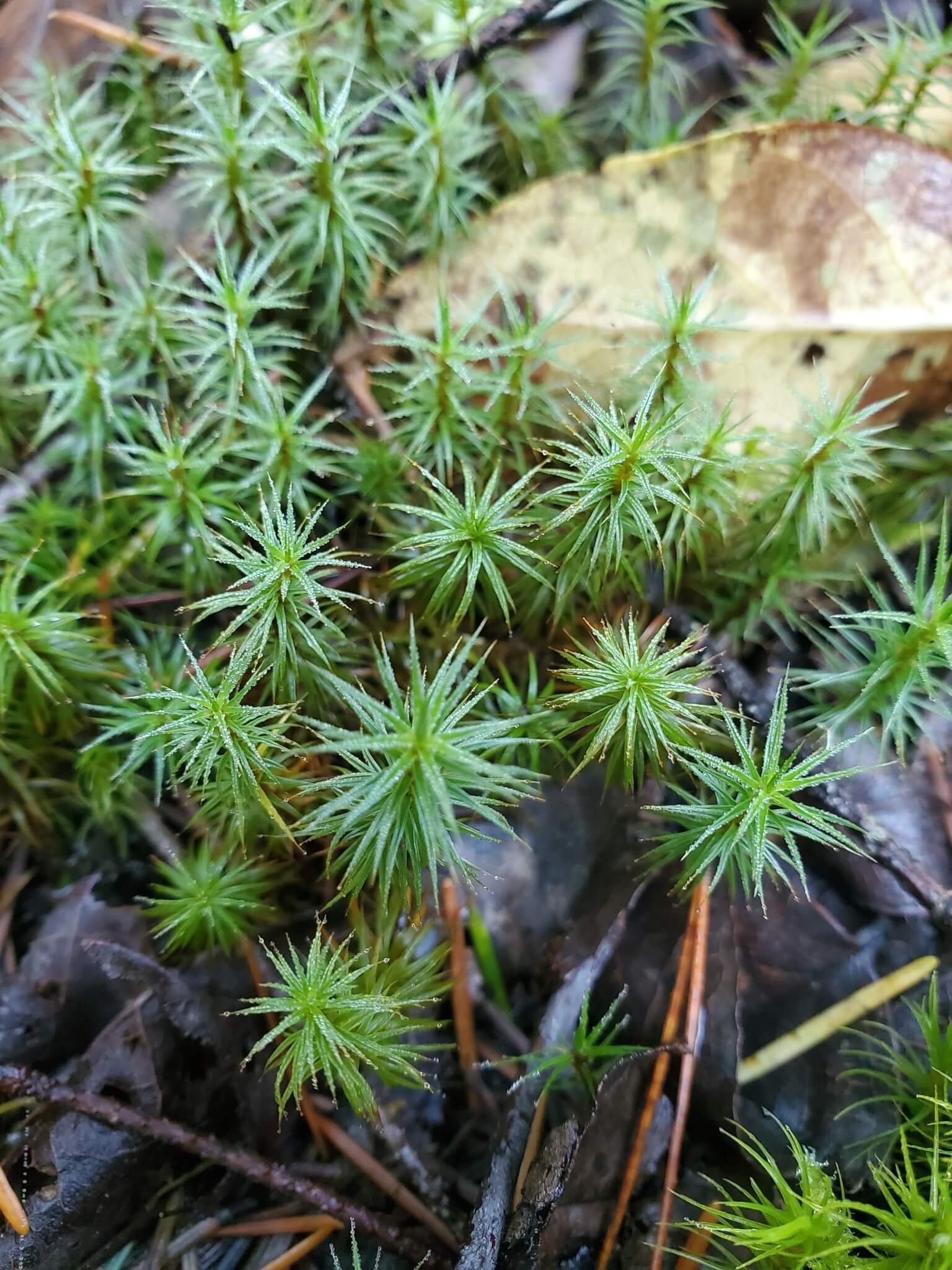
For terrarium builders this is a difficult region to draw from. The Verdarium catalogue currently tags fourteen species here, almost all circumboreal mosses (Hylocomium splendens, Dicranum scoparium, Polytrichum formosum, Hypnum cupressiforme and others) plus the aquatics Hydrocotyle verticillata and Spirodela polyrhiza, and Nephrolepis exaltata. None of the region's signature desert, chaparral, or coastal flora is yet represented.
The Southwest hosts some of the country's leading botanical institutions: the Desert Botanical Garden in Phoenix, the Huntington Botanical Gardens near Los Angeles, and the University of California Botanical Garden at Berkeley.
Native to Southwestern U.S.A.
Explore plants from this region


References
- Encyclopedia BritannicaSonoran Desert geography and vegetation baseline.
- Encyclopedia BritannicaSierra Nevada geography and confirmation of Mount Whitney as regional high point.
- Kew POWOUsed to confirm characteristic genera (Carnegiea, Yucca brevifolia, Larrea tridentata, Sequoiadendron giganteum, Sequoia sempervirens, Arctostaphylos).
- WikipediaClimate, deserts, and characteristic vegetation overview.
- WikipediaEndemism statistics and key genera for the California Floristic Province.
- WikipediaConfirms −86 m as the regional minimum elevation (Death Valley, California).
- TDWG WGSRPDAuthoritative Level 3 table — confirms member botanical countries of region 76 (ARI, CAL, NEV, UTA).