Northern America · TDWG Level 2
South-Central U.S.A.
South-Central U.S.A. is the TDWG region covering Texas — a single state of roughly 696,000 square kilometres reaching from Gulf of Mexico marshes and east-Texas pine forest to Chihuahuan Desert mountains and the limestone Edwards Plateau. Climate runs from humid subtropical along the coast to arid in the Trans-Pecos.
South-Central U.S.A. is one of the TDWG regions where the boundary is also a state line: it covers Texas and nothing else, roughly 696,000 square kilometres. The state straddles four major North American floristic provinces, which is why a region this size can feel like four different countries to a botanist. Climate is mostly humid subtropical, edging into semi-arid on the western plateau and fully arid in the Trans-Pecos.
Eastern Texas is the western edge of the southern coniferous forest belt. The Piney Woods are dominated by loblolly pine (Pinus taeda), shortleaf pine (Pinus echinata), and historically longleaf pine (Pinus palustris), with bald cypress (Taxodium distichum) standing in the bayous and slow rivers. The Gulf coast is a low plain of salt marsh, prairie, and live-oak motte, with the cabbage palm (Sabal mexicana) reaching the southern tip. Central Texas is broken open by the Balcones Escarpment, which lifts the Edwards Plateau — limestone hill country covered in plateau live oak (Quercus fusiformis) and Ashe juniper (Juniperus ashei), and home to a long list of plateau endemics. South of San Antonio, the land flattens into the Tamaulipan brushlands, where mesquite (Prosopis glandulosa) dominates alongside spiny shrubs and prickly pear (Opuntia engelmannii).
The west is a different country again. The High Plains and Llano Estacado roll across the panhandle as shortgrass prairie. The Trans-Pecos belongs to the Chihuahuan Desert — sotol (Dasylirion), agave, yucca, lechuguilla (Agave lechuguilla), and creosote (Larrea tridentata) — climbing into the Guadalupe and Davis Mountains. Guadalupe Peak rises to 2,667 metres, the regional high point. The state flower, the bluebonnet (Lupinus texensis), carpets central Texas roadsides every spring.
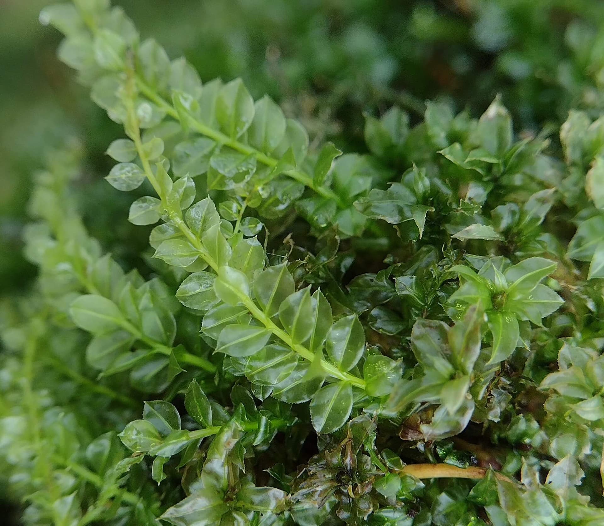
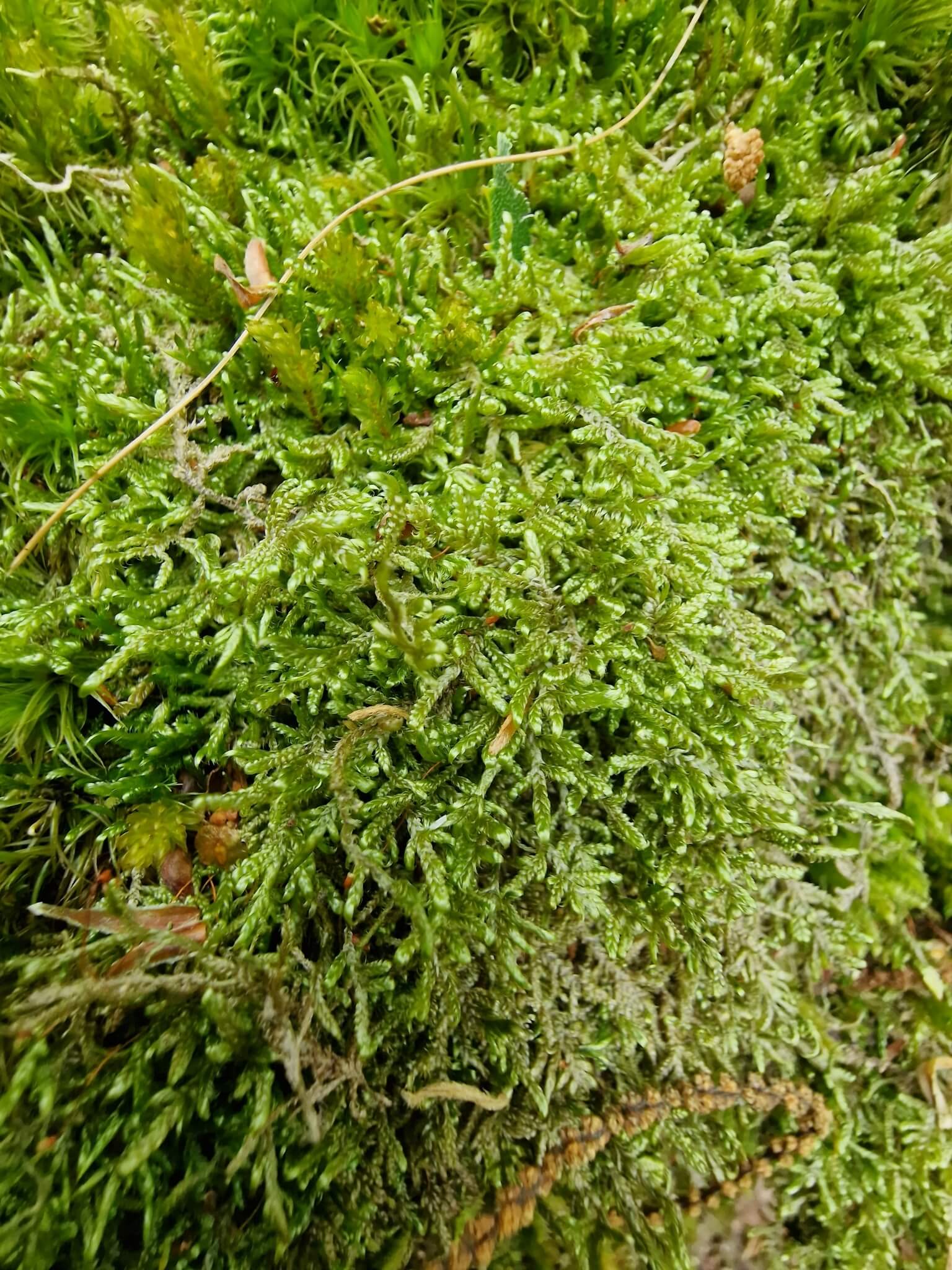
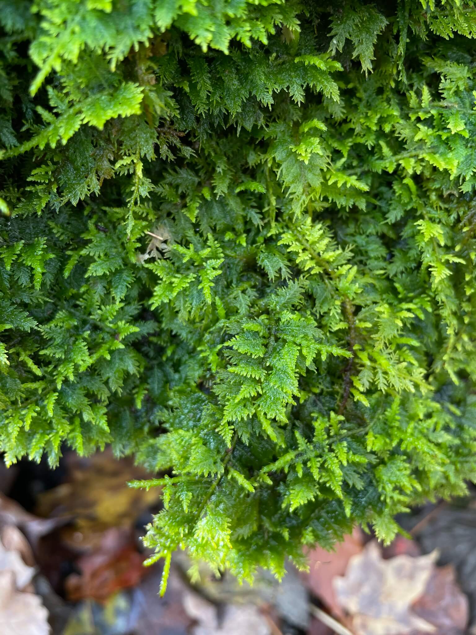
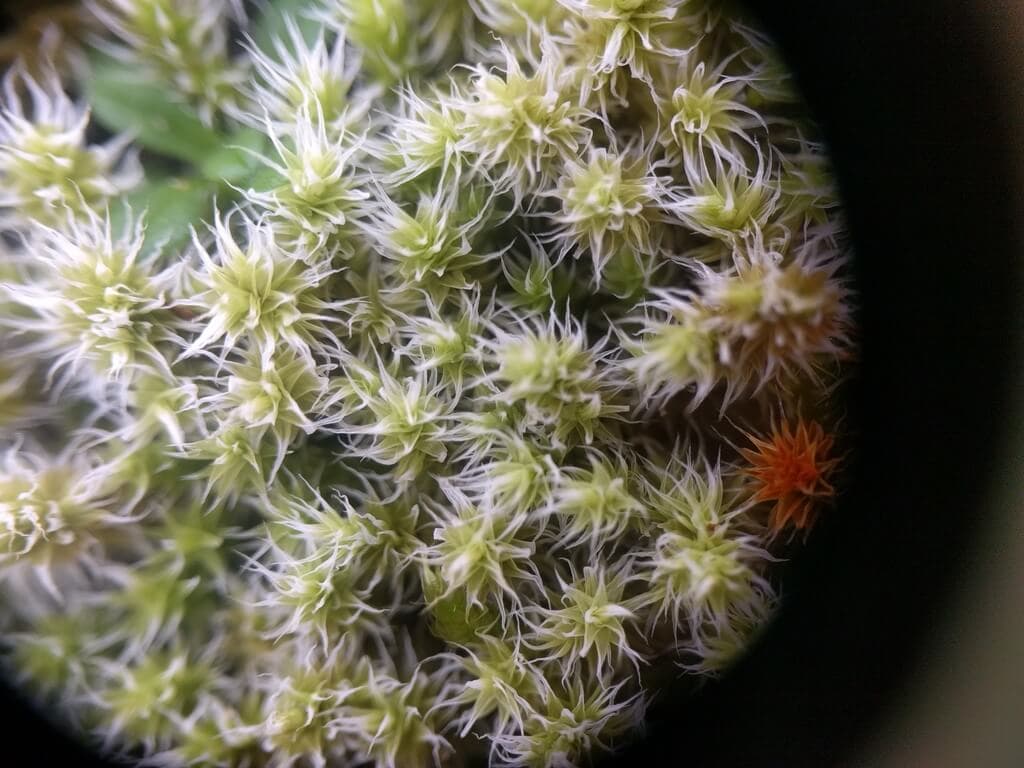
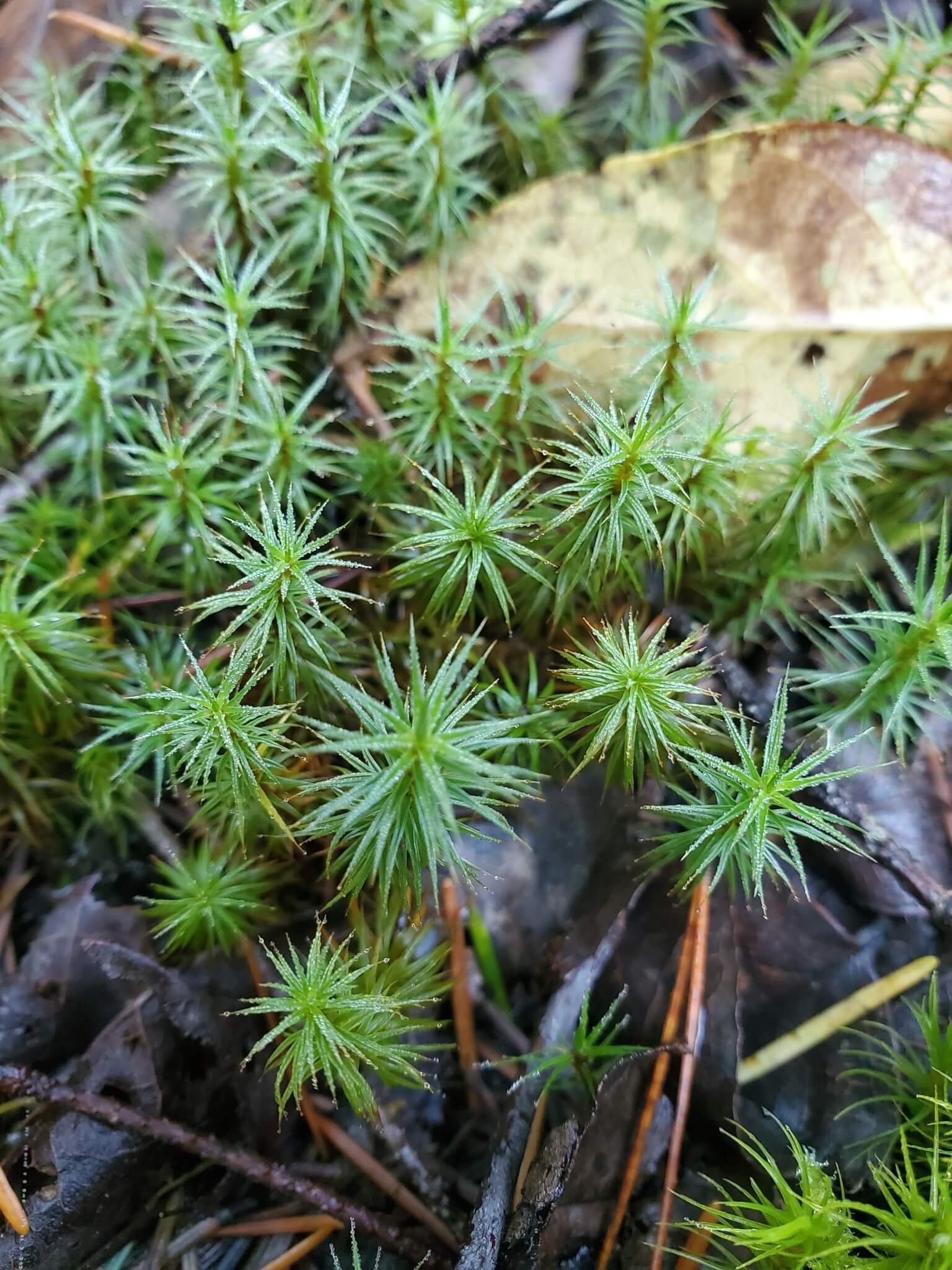
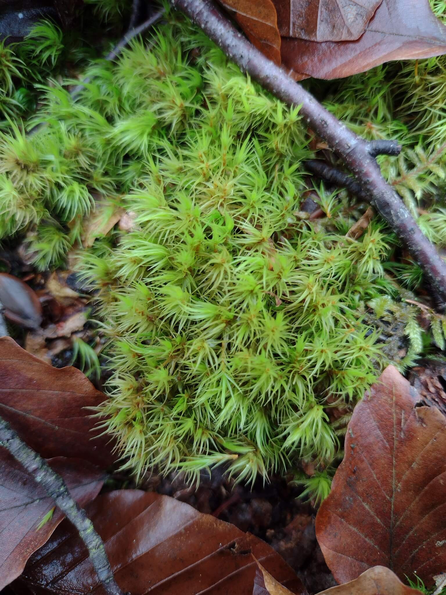
For terrarium builders this is mostly unrepresented territory. The Verdarium catalogue currently tags nine species here — eight circumboreal mosses (Dicranum scoparium, Thuidium delicatulum, Polytrichum juniperinum, and others) plus the aquatic Spirodela polyrhiza and Nephrolepis exaltata. None of Texas's signature pineywoods, Edwards Plateau, brushland, or Chihuahuan Desert flora is yet represented.
The Lady Bird Johnson Wildflower Center in Austin is the leading institution for Texas native plants, complemented by the Botanical Research Institute of Texas (BRIT) in Fort Worth.
Native to South-Central U.S.A.
Explore plants from this region


References
- Encyclopedia BritannicaTexas geography, climate, and ecological regions baseline.
- Encyclopedia BritannicaChihuahuan Desert flora context for the Trans-Pecos.
- Kew POWOUsed to confirm characteristic genera (Quercus fusiformis, Juniperus ashei, Pinus taeda, Taxodium distichum, Prosopis glandulosa, Dasylirion, Agave lechuguilla).
- WikipediaState area, ecoregions overview, and confirmation of bluebonnet as state flower.
- WikipediaConfirms 2,667 m as the regional maximum (highest point in Texas).
- TDWG WGSRPDAuthoritative Level 3 table — confirms region 77 contains only Texas (TEX). Oklahoma, Arkansas, and Louisiana fall under different TDWG regions.